|
Angle
Tarn (Langdale)
|
||
| Type; | Natural | View Larger Map |
| Location; | west of Great Langdale | |
| Accessibility; | Access land. Footpaths from Great Langdale and Borrowdale. | |
| Grid Ref; | NY 244 076 | |
| Elevation; | 568m (1868 feet) | |
| Size; | 224m x 224m (736 x 735 feet) | |
| Area; | 3.24 hectares (8.0 acres) | |
| Depth; | 15m (49 feet) | |
| Meaning of name; | fishing tarn | |
| Alternative name(s); | none | |
|
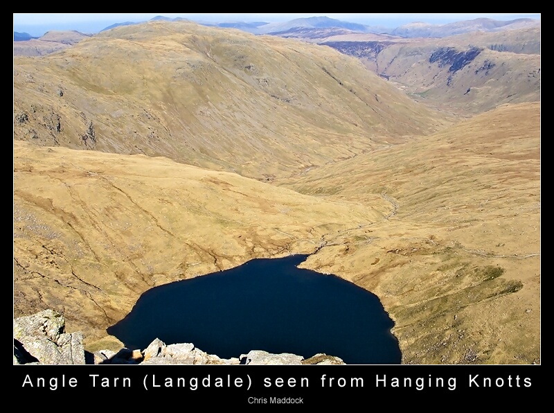
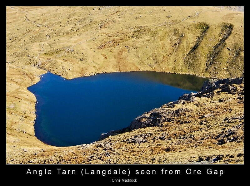
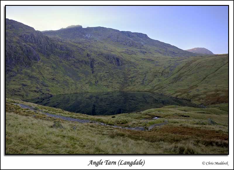
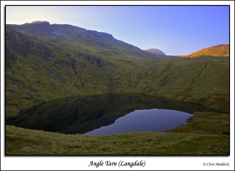
A fine example of a corrie tarn, Angle Tarn lies at the foot of Hanging Knotts to the north of Bow Fell. The nearest access is from Great Langdale, following a footpath up the valley of Mickleden, or from Seathwaite (Borrowdale) following footpaths via Esk Hause. Unfortunately,
the location makes decent photos harder to get than for many other tarns.
It is surrounded by a high ridge all around the southern shore and well
around the eastern and western shores too. The last three photos were
taken at the end of a days walk in November, so the tarn was well and
truly in shadow - with a bright sky above and behind. The first two are
better, having been taken from the south & south-west during a descent
from Bow Fell although with a bright, sunny day and cludless sky the light
was rather harsh. |
||
 |
||
|
|
||
 |
||
 |
||
 |
||
|
|
||