
|
Baystone
Bank Reservoir
|
||
| Type; | Reservoir - demolished | View Larger Map |
| Location; | 3½ miles north of Millom | |
| Accessibility; | Private, but footpath leads to the dam | |
| Grid Ref; | SD 171 859 | |
| Elevation; | 82 m (269 feet) | |
| Size; | was 285m x 150m (950 x 500 feet) | |
| Area; | was 3.2 hectares (7.9 acres) | |
| Depth; | now nil | |
| Meaning of name; | ||
| Alternative name(s); | ||
|
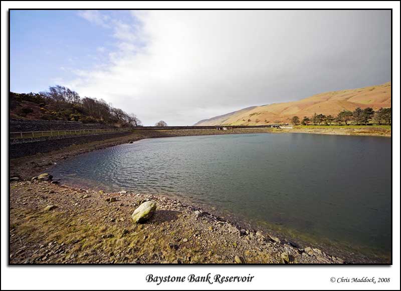
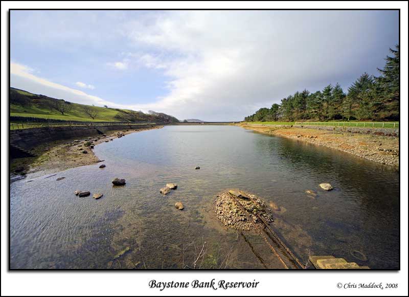
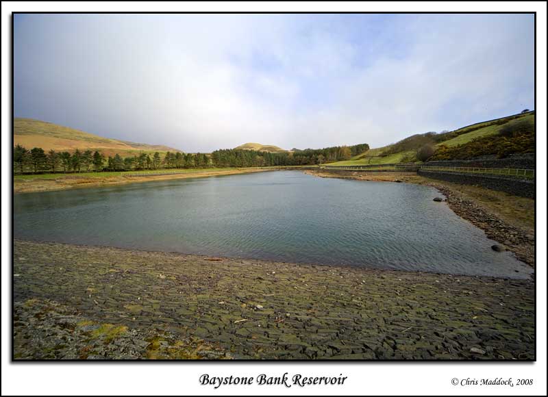
A small reservoir
on Baystone Bank, near Millom on the south Lakes, Baystone Bank was constructed
between 1876 and 1877. It was retired from active use around 1996 and
was then used as a trout fishery. In 2011, United Utilities commenced
work to drain the reservoir, demolish the dam and restore the valley to,
as close as can be ascertained, its original appearance. According
to a bulletin on United Utilities website, considerable work has been
planned/undertaken to protect wildlife that has come to depend on the
reservoir;
|
||
 |
||
 |
||
 |
||
|
|
||