
|
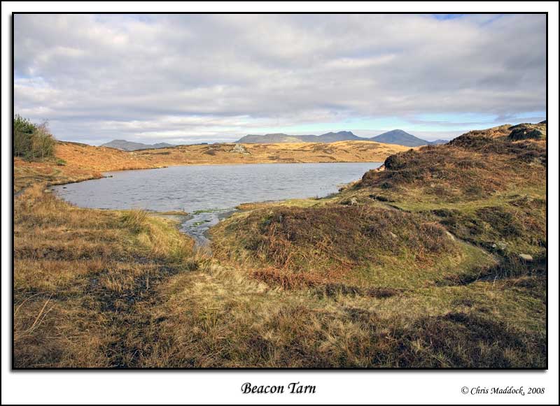
Beacon
Tarn
|
||
| Type; | Natural | View Larger Map |
| Location; | on the Blawith Fells, 1 mile west of Coniston Water | |
| Accessibility; | Access land, footpaths from north and south | |
| Grid Ref; | SD 274 900 | |
| Elevation; | 165 m (540 feet) | |
| Size; | 470m x 150m (1560 x 500 feet) | |
| Area; | 4.75 hectares (11.8 acres) | |
| Depth; | 8m (26 feet) | |
| Meaning of name; | ||
| Alternative name(s); | ||
|
A rather
attractive natural tarn nestled in a shallow basin, retained by moraine
humps to the south. Marshy shores to the south, west & north whilst
the eastern edge is steep and rocky. |
||
 |
||
 |
||
 |
||
 |
||
 |
||
|
|
||