
|
Boltons
Tarn
|
||
| Type; | Natural | View Larger Map |
| Location; | 1¼ miles south-west of Crook, between Kendal and Windermere | |
| Accessibility; | private land, footpath from Crook or Crosthwaite | |
| Grid Ref; | SD 447 934 | |
| Elevation; | 189m (621 feet) | |
| Size; | 140m x 30m (450 x 97 feet) | |
| Area; | 0.3 hectares (0.74 acres) | |
| Depth; | 1m (3 feet) | |
| Meaning of name; | ||
| Alternative name(s); | ||
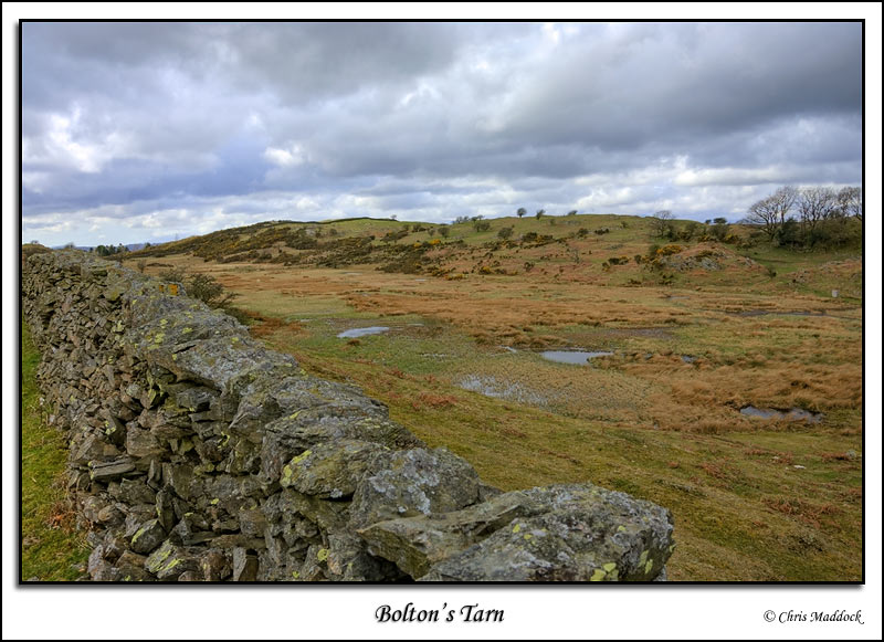
| Visible
with a slight detour to the north from the footpath running between Crook
and Crosthwaite, Bolton's Tarn is very overgrown with sedge and reeds.
When I visited it seemed very popular with a colony of black-headed gulls.
|
||
 |
||
|
|
||