
|
Boo
Tarn
|
||
| Type; | Natural | View Larger Map |
| Location; | 1 mile west of Coniston | |
| Accessibility; | access land, a footpath passes by. | |
| Grid Ref; | SD 282 968 | |
| Elevation; | 282m (918 feet) | |
| Size; | 40m x 10m (120 x 30 feet) | |
| Depth; | 0.5m (1½ feet) | |
| Meaning of name; | the tarn by the hut (or, possibly, an abbreviation of Booth's Tarn or Bui's Tarn) | |
| Alternative name(s); | ||
|
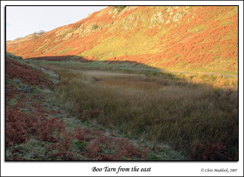
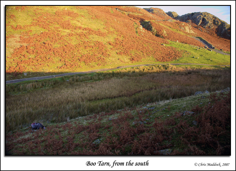
Lying right beside Walna Scar Road, (the ancient packhorse road from Coniston to the Duddon Valley) Boo Tarn is something of a disappointment. Shown on the OS map as being very small, it is heavily silted and overgrown with reeds to the extent that it appears to be a patch of marshy ground beside a stream. Matters weren't helped by the fact that on the day I visited the sun doesn't even clear the small hillock to the east so the "tarn" lay fully in shadow.
|
||
 |
||
 |
||