
|
Elterwater
|
||
| Type; | Natural | View Larger Map |
| Location; | near Skelwith Bridge | |
| Accessibility; | Private but with some access to the eastern shore | |
| Grid Ref; | NY 333 041 | |
| Elevation; | 53m (174 feet) | |
| Size; | 894m x 334m (2900 x 1080 feet) | |
| Area; | 16.37 hectares (40.44 acres) | |
| Depth; | 15m (48 feet) | |
| Meaning of name; | lake of the swans (old Norse) | |
| Alternative name(s); | Helterwatra (c.1157) | |
|
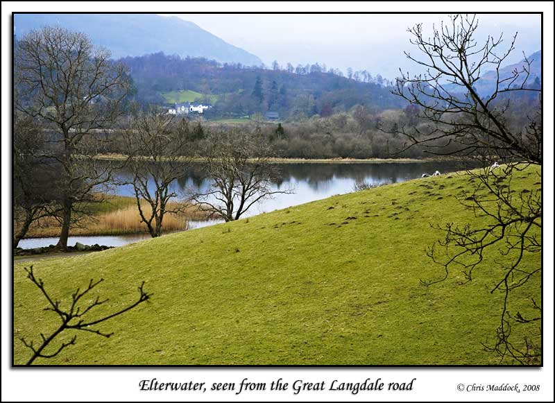
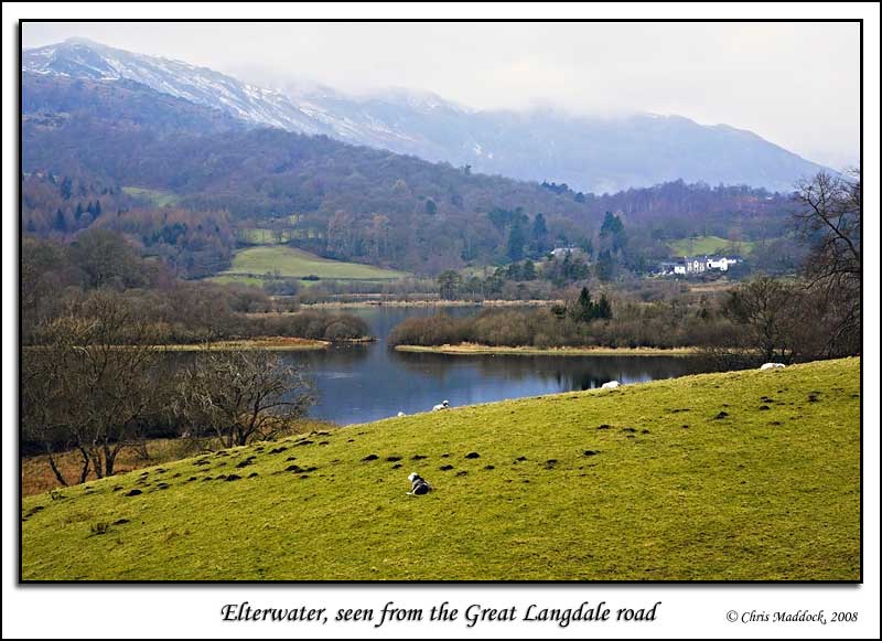
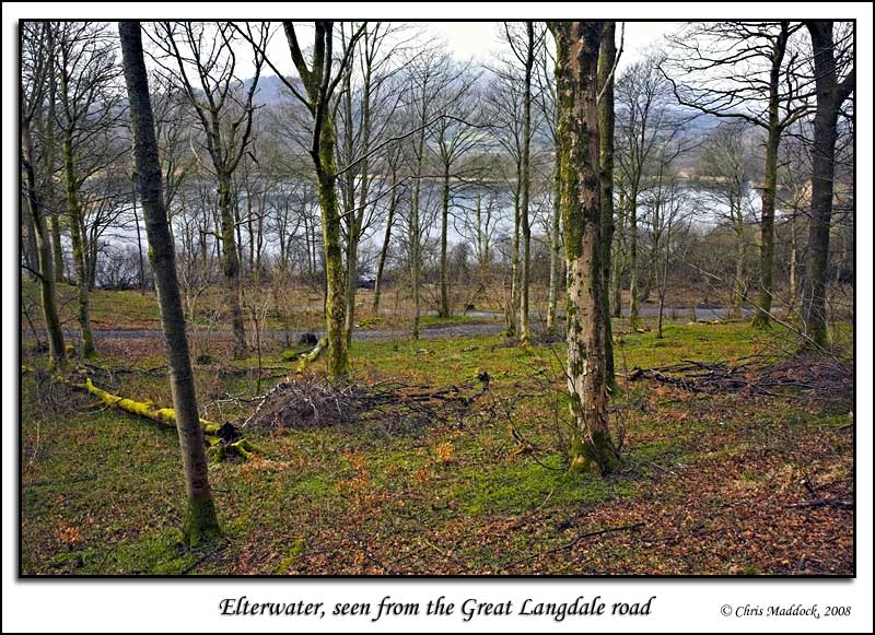
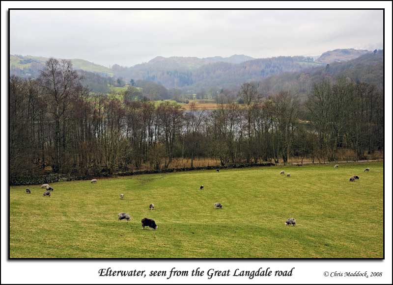
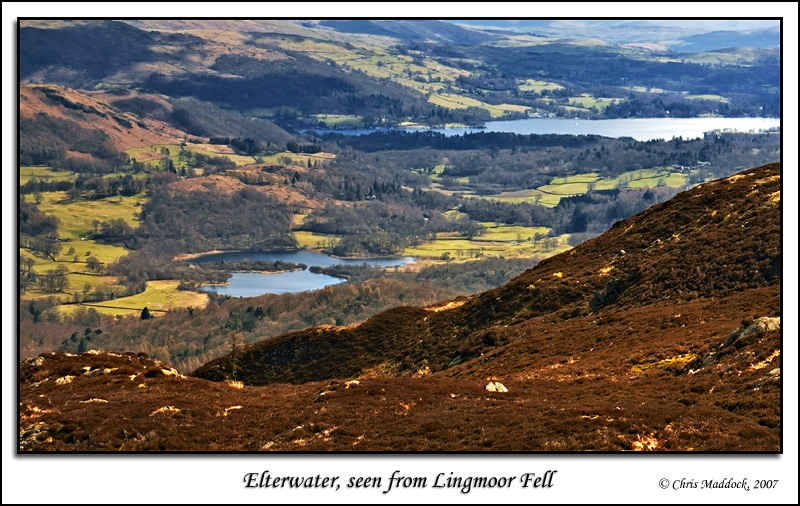
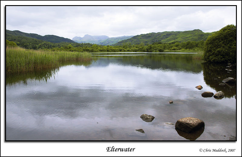
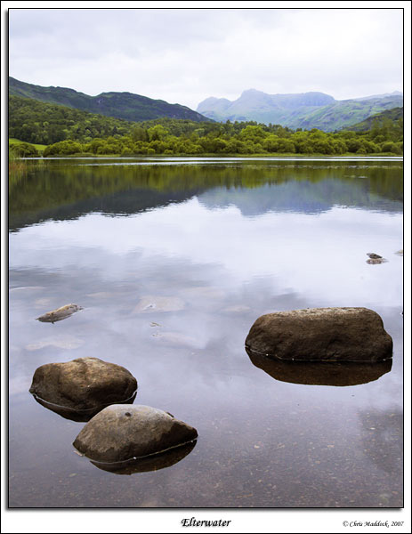
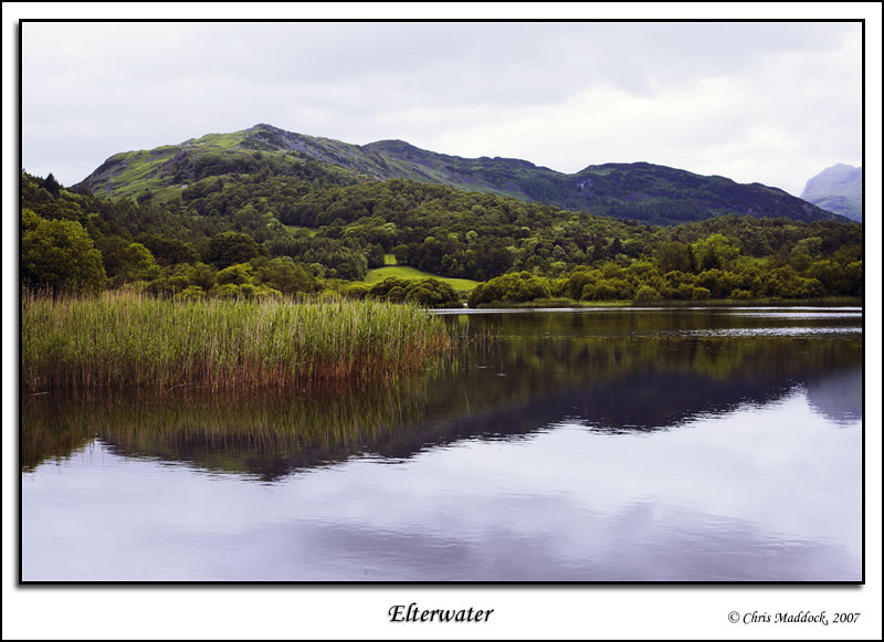
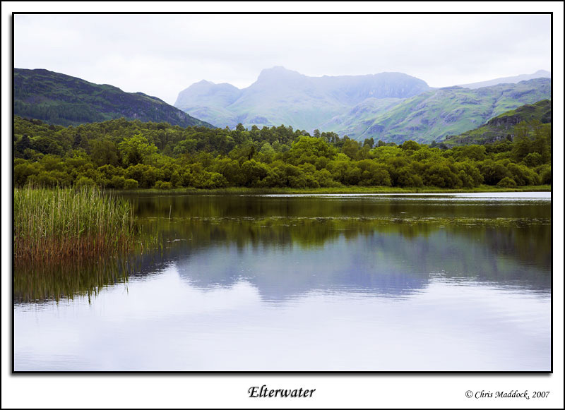
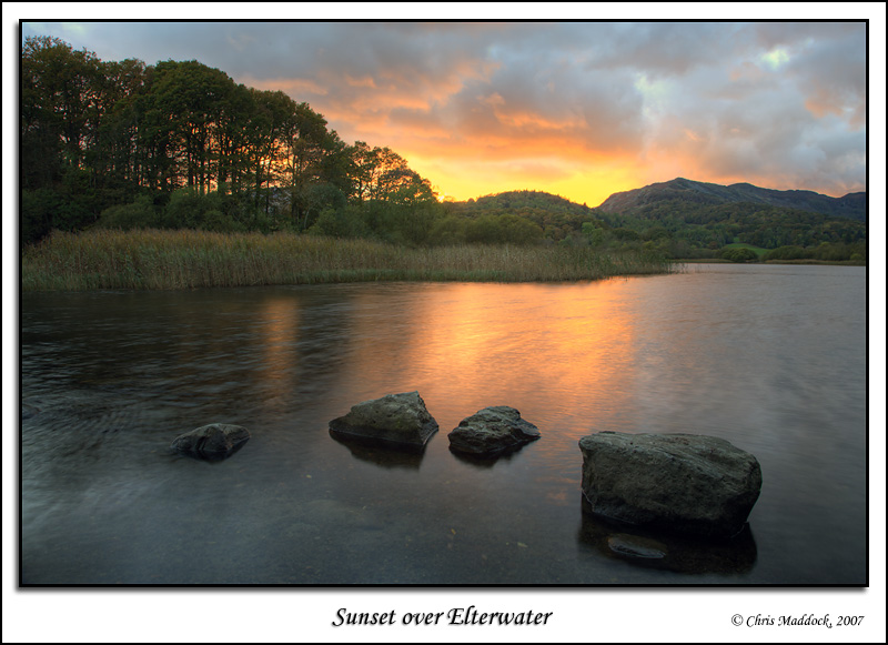
Elterwater, the smallest of the so-called "sixteen lakes", lies at the junction of the River Brathay and the Great Langdale Beck, at the mouth of the Great Langdale valley. An attractive, reed-edged lake it is private property. The lake is silting up quite badly, indeed the aerial photograph shows how it is not very far away from being three lakes. The National Trust owns the northern and eastern banks so there is some access to the lake. From the footpath between Elterwater village and Skelwith Bridge there are a few vantage points at the lower end of the lake, from where the lake may be photographed with the Langdale Pikes or Wetherlam in the background. Other than that, views are limited to the Great Langdale road or up on the fells around. |
||
 |
||
 |
||
 |
||
 |
||
 |
||
 |
||
 |
||
 |
||
 |
||
 |
||