
|
Green
Hows Upper Tarn
|
||
| Type; | Reservoir | View Larger Map |
| Location; | Graythwaite | |
| Accessibility; | Access Land | |
| Grid Ref; | SD 360 898 | |
| Elevation; | 152 m (500 feet) | |
| Size; | 410 x 83 m (1332 x 270 feet) | |
| Area; | 3.22 hectares (7.94 acres) | |
| Depth; | unknown | |
| Meaning of name; | ||
| Alternative name(s); | Great Green Hows Tarn or High Tarn | |
|
Green Hows
Upper Tarn (and its near neighbour, Green
Hows Tarn) was constructed as a boating and fishing lake for the owners
of Graythwaite hall. It
lies on Access Land and may be approached either from the Graythwaite-Crosslands
road or from High Dam Tarn, ½
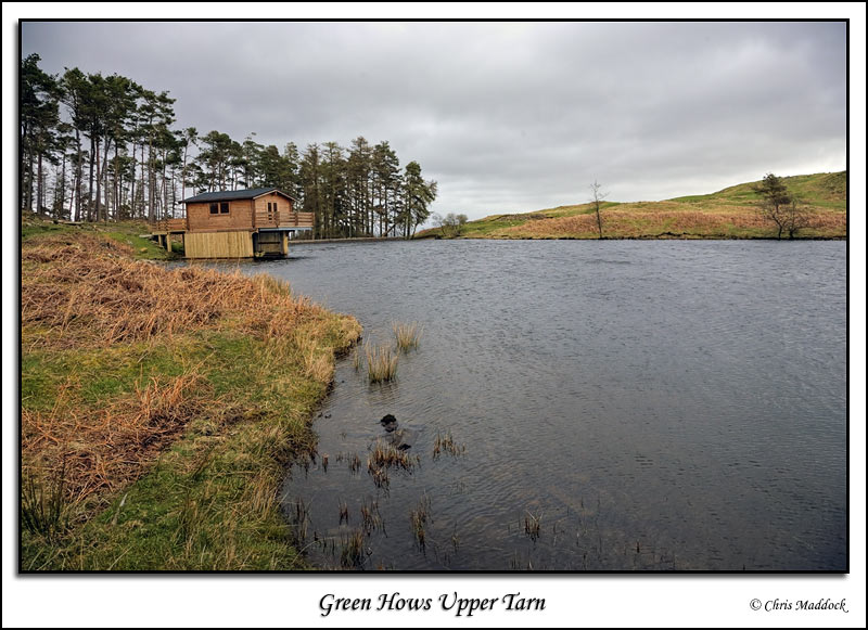
mile to the south. It's reasonably attractive for an low fell tarn, with a concrete dam and spillway at the northern end. There is a boathouse near the dam, however it's far from a traditional one - appearing to be a steel framework clad in pine. Maybe it's a more practical replacement for an older structure.
|
||
 |
||
 |
||
 |
||
 |
||
 |
||