
|
Gurnal
Dubs
|
||
| Type; | Natural, enlarged by damming | View Larger Map |
| Location; | 2 miles east of Staveley | |
| Accessibility; | Access Land | |
| Grid Ref; | SD 503 991 | |
| Elevation; | 281 m (922 feet) | |
| Size; | 344 x 150 m (1120 x 508 feet) | |
| Area; | 3.13 hectares (7.74 acres) | |
| Depth; | 4.5m (15 feet) | |
| Meaning of name; | ||
| Alternative name(s); | Fothergill Tarn | |
|
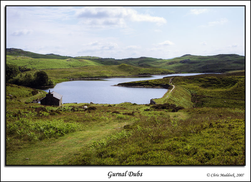
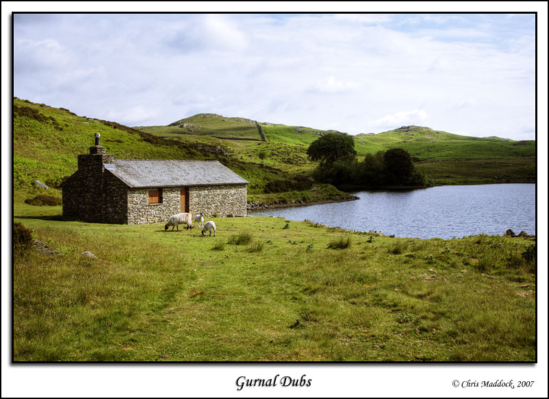
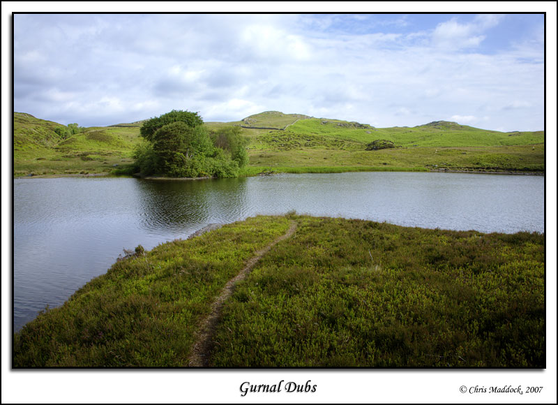
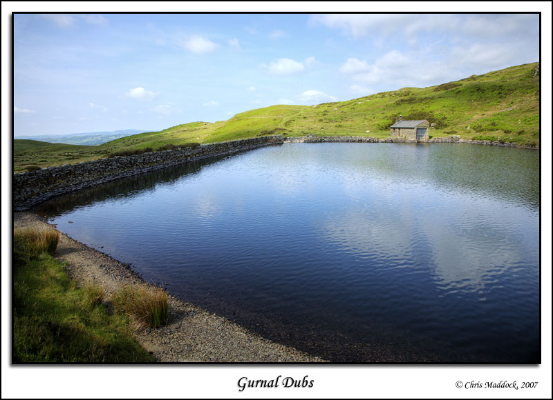
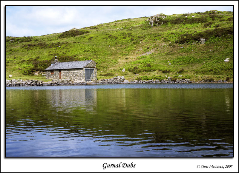
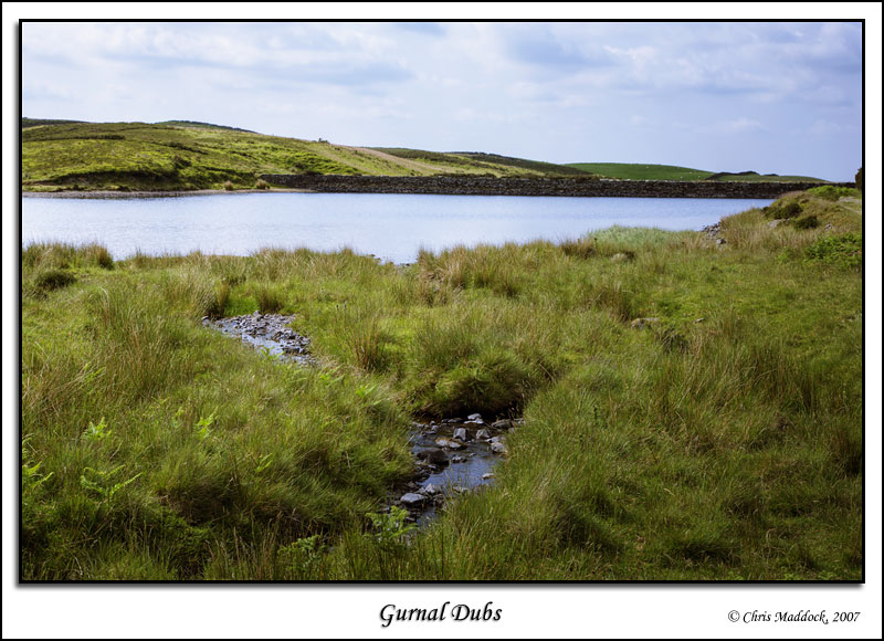
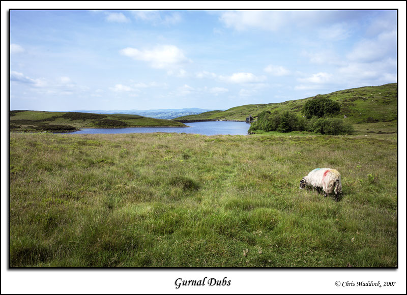
Although artificial, Gurnal Dubs is a very attractive tarn. It was created by erecting a dam to enclose three smaller natural ponds (or "dubs") to make one larger lake. The dam is not excessively obtrusive, being clad in stone and turf. To the western end stands a boathouse, erected by the Fothergill family, whilst to the north is a small tree-clad island. The tarn is silting up on that side, however, and the island is now barely separated from the shore. |
||
|
|
||
 |
||
 |
||
 |
||
 |
||
 |
||
 |
||
 |
||