
|
Hayeswater
|
||
| Type; | Natural | View Larger Map |
| Location; | 1½ miles SE of Hartsop, Patterdale | |
| Accessibility; | Access Land | |
| Grid Ref; | NY 431 122 | |
| Elevation; | 426 m (1398 feet) | |
| Size; | 950m x 432m (3080 x 1400 feet) | |
| Area; | 17.2 hectares (42.5 acres) | |
| Depth; | 16m (52 feet) | |
| Meaning of name; | Eithr's lake or lake by the enclosure | |
| Alternative name(s); | ||
|
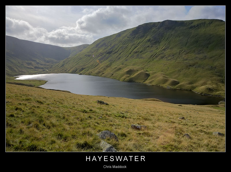
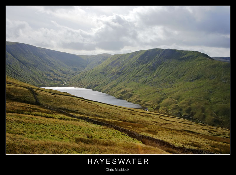
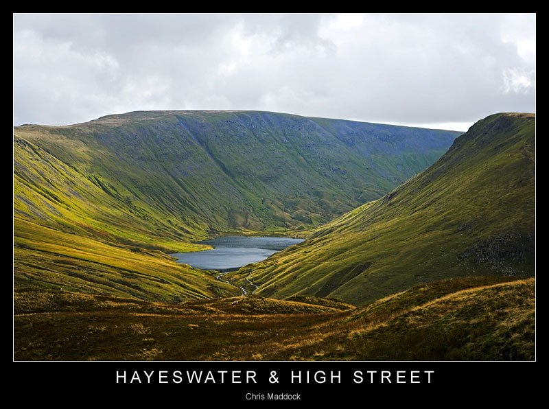
Hayeswater is a natural lake, although the outfall has been altered to a concrete spillway/dam to enable water extraction for the Ullswater villages. Long and narrow, it is more resemblant of a glaciated finger lake than a corrie tarn. The valley is enclosed by Gray Crag to the west and the high ridge of High Street to the east and south, giving a lonely and dramatic outlook. |
||
 |
||
 |
||
 |
||
 |
||