
|
High
Taggleshaw
|
||
| Type; | Natural | View Larger Map |
| Location; | Potter Fell | |
| Accessibility; | Access Land | |
| Grid Ref; | SD 505 993 | |
| Elevation; | 307 m (1004 feet) | |
| Size; | 67m x 38m (216 x 125 feet) | |
| Area; | 0.25 hectares (0.6 acres) | |
| Depth; | 0.5m (1½ feet) | |
| Meaning of name; | ||
| Alternative name(s); | ||
|
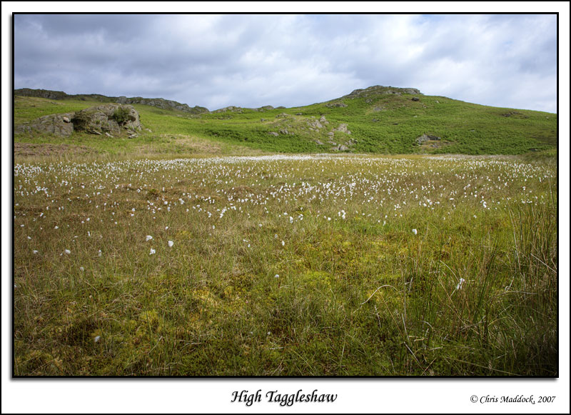
One of three similarly-named tarns on Potter Fell, High Taggleshaw is the one with the most open water - which isn't saying a lot. Most of the tarn is silted up and much of the remainder is overgrown. |
||
|
|
||
 |
||
 |
||