
|
Launchy
Tarn (High Scawdell)
|
||
| Type; | Natural | View Larger Map |
| Location; | High Scawdell, Borrowdale | |
| Accessibility; | Access Land | |
| Grid Ref; | NY 233 149 | |
| Elevation; | 553m (1815 feet) | |
| Size; | 75 x 22m (255 x 57 feet) | |
| Area; | 0.11 hectares (0.27 acres) | |
| Depth; | 0.75m (2½ feet) | |
| Meaning of name; | possible Launcelot's Tarn | |
| Alternative name(s); | ||
|
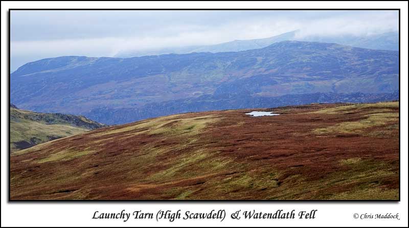
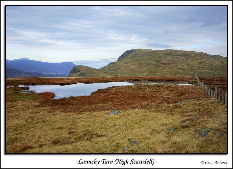
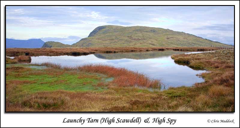
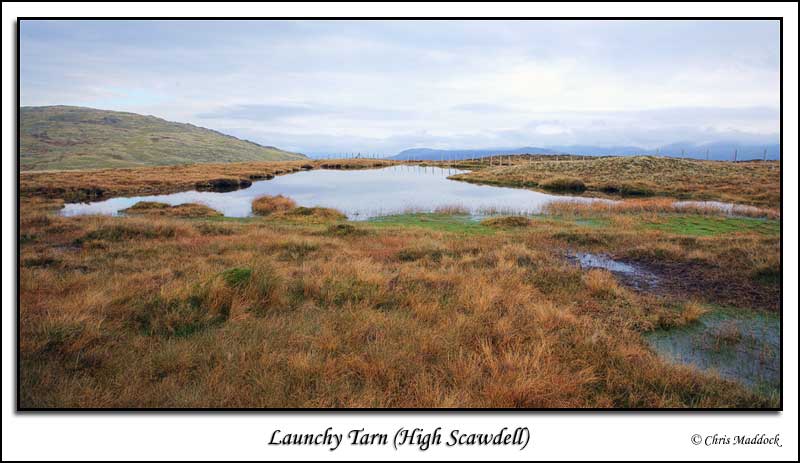
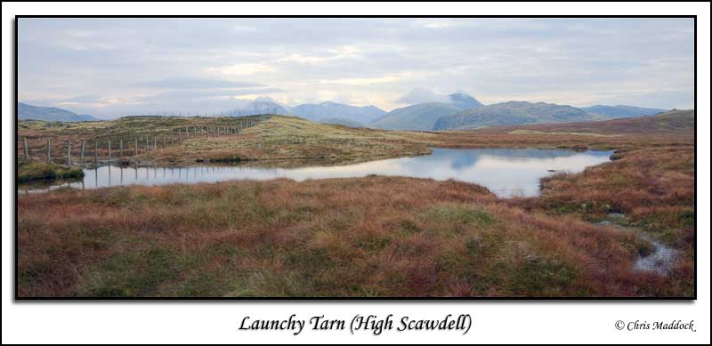
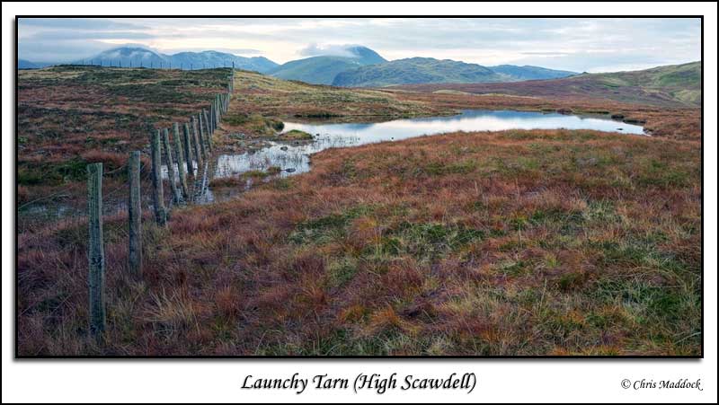
Launchy Tarn is a peat bog tarn on the south-eastern slopes of Dale Head, near Borrowdale. It offers good views to Blencathra in the north and Helvellyn to the east. It is easiest accessed from Honister Slate Mine by locating Dalehead Tarn then heading south-east. A fence cuts across the northern tip of the tarn, indicating that it has extended through wave erosion since the fence was built. |
||
|
|
||
 |
||
 |
||
 |
||
 |
||
 |
||
 |
||