
|
Lingmoor
Tarn
|
||
| Type; | Natural | View Larger Map |
| Location; | north side of Lingmoor Fell | |
| Accessibility; | Access Land | |
| Grid Ref; | NY 301 051 | |
| Elevation; | 388 m (1275 feet) | |
| Size; | 170 x 60m (558 x 196 feet) | |
| Area; | 0.6 hectares (1.5 acres) | |
| Depth; | 1m (3 feet) | |
| Meaning of name; | heather moor tarn | |
| Alternative name(s); | ||
|
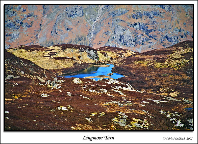
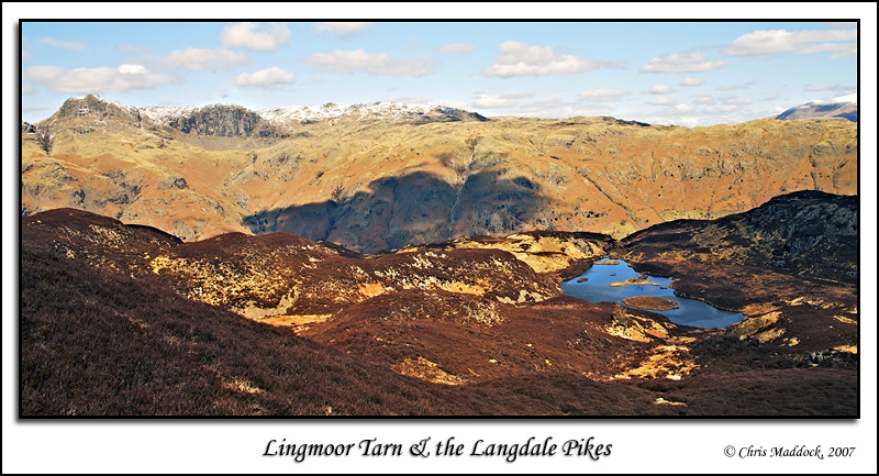
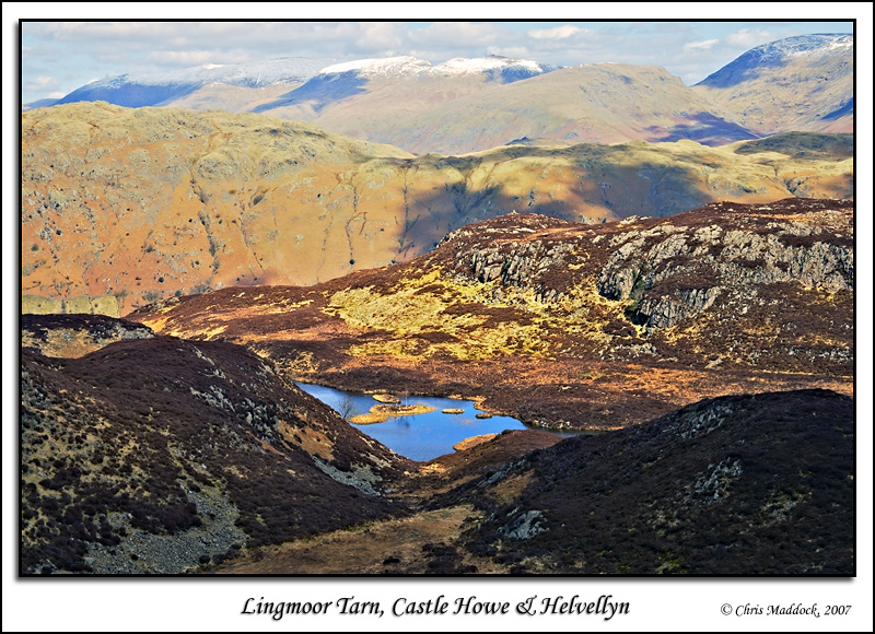
Lingmoor Tarn lies in a small valley on the north side of Lingmoor Fell, above the Great Langdale valley. It can clearly be seen looking down from the path which follows the ridge between Lingmoor Fell summit and Side Pike. Slightly lower than Stickle Tarn (across the valley) fine views of the Langdale Pikes and the upper fells of Great Langdale can be used as the background for Lingmoor Tarn. The tarn itself is rather pleasing, containing several small islands and a mixture of moorland and craggy banks. |
||
|
|
||
 |
||
 |
||
 |
||
 |
||
 |
||
 |
||