
|
Low
Dam Tarn
|
||
| Type; | Reservoir | View Larger Map |
| Location; | near Finsthwaite | |
| Accessibility; | Access Land | |
| Grid Ref; | SD 363 885 | |
| Elevation; | 163 m (532 feet) | |
| Size; | 80m x 32m (260 x 107 feet) | |
| Area; | 0.22 hectares (0.56 acres) | |
| Depth; | unknown | |
| Meaning of name; | ||
| Alternative name(s); | ||
|
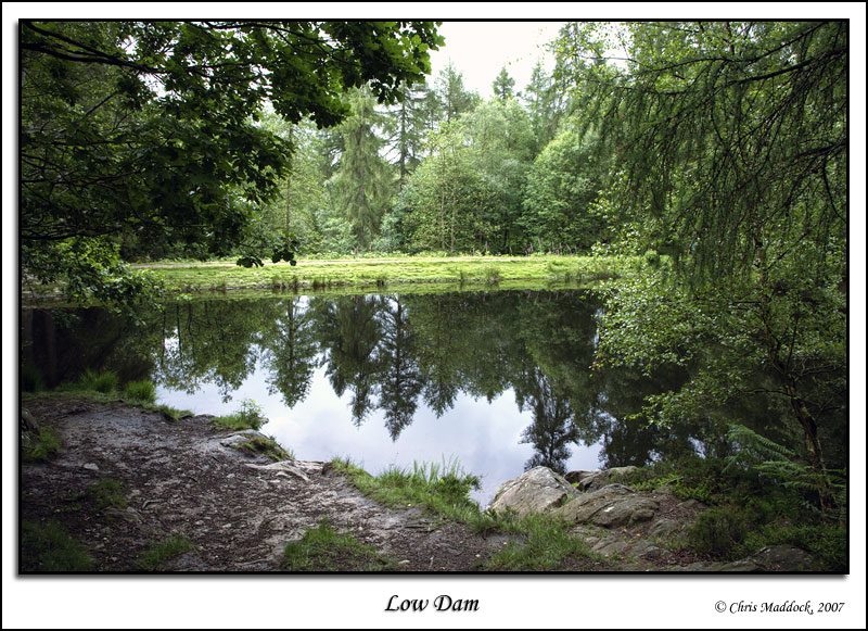
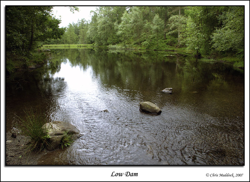
In 1858, the Stott Park Bobbin Mill installed a water turbine to replace the water wheel that had been in use for the previous 23 years. The wheel had been supplied by High Dam Tarn but the new turbine required a constant water pressure. Accordingly a dam was constructed a little way down the valley from High Dam, creating the smaller Low Dam Tarn. High Dam still stored the water and fed Low Dam. Low Dam is pleasing little tarn, despite being totally artificial. Surrounded by deciduous woodland, it should be particularly pleasing in autumn. The two tarns were originally surrounded by heather-clad fells, the birch and oak coppice woodland was planted in the latter half of the 19th century to provide wood for the mill and for charcoal burning. Note - Low Dam is not named on the OS maps, so did not officially count for my project. However, since the access to High Dam passes Low Dam and it is attractive, I decided to add it to the list anyway. |
||
|
|
||
 |
||
 |
||
 |
||