
|
Middle
Taggleshaw
|
||
| Type; | Natural | View Larger Map |
| Location; | Potter Fell | |
| Accessibility; | Access Land | |
| Grid Ref; | SD 506 992 | |
| Elevation; | 299 m (980 feet) | |
| Size; | silted up | |
| Depth; | silted up | |
| Meaning of name; | ||
| Alternative name(s); | ||
|
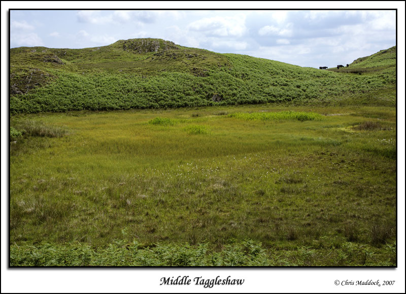
One of three similarly-named tarns on Potter Fell, Middle Taggleshaw is completely silted up - just a patch of marshland and reeds indicating where it is/was. |
||
|
|
||
 |
||
|
|
||