
|
Scales
Tarn
|
||
| Type; | Natural | View Larger Map |
| Location; | Blencathra | |
| Accessibility; | Access Land | |
| Grid Ref; | NY 328 281 | |
| Elevation; | 598m (1962 feet) | |
| Size; | 153 x 107m (502 x 352 feet ) | |
| Area; | 1.4 hectares (3.4 acres) | |
| Depth; | 8m (26 feet) | |
| Meaning of name; | the tarn by the shepherd's hut | |
| Alternative name(s); | ||
|
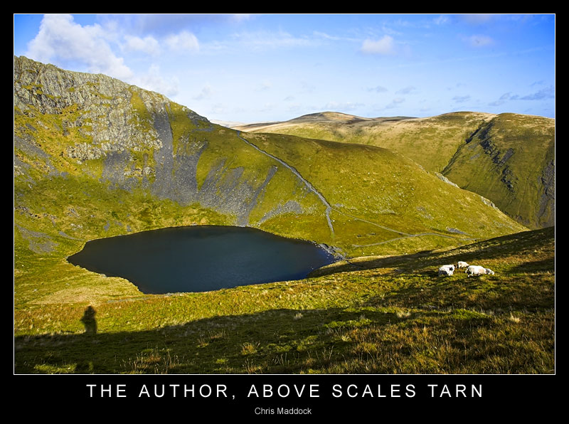
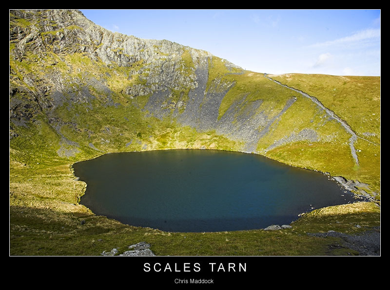
Scales Tarn is a fine example of a corrie tarn at the foot of Tarn Crags at the eastern end of Blencathra. It collects its water from all around the corrie, with the outfall into Scales Beck on the eastern side. Footpaths lead up to Scales Tarn from Scales, on the A66, some 2 Km away.
|
||
 |
||
 |
||
 |
||
 |
||
 |
||