
|
Stickle
Tarn (Dunnerdale)
|
||
| Type; | Natural | View Larger Map |
| Location; | Stickle Pike, Dunnerdale | |
| Accessibility; | Access Land | |
| Grid Ref; | SD 213 928 | |
| Elevation; | 310m (1017 feet) | |
| Size; |
85 x 45 m (275 x 140 feet) |
|
| Area; | 0.25 hectares (0.6 acres) | |
| Depth; | 3m (10 feet) | |
| Meaning of name; | the tarn by the steep peak | |
| Alternative name(s); | ||
|
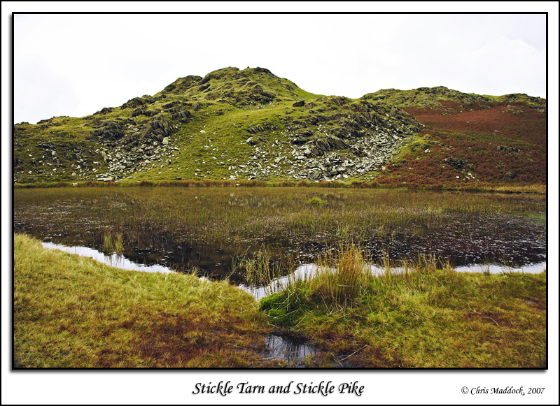
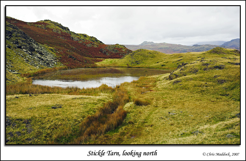
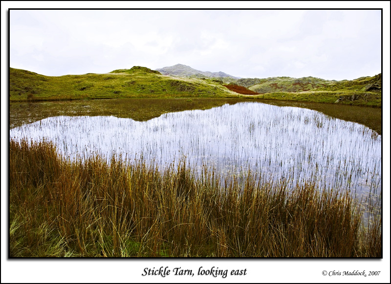
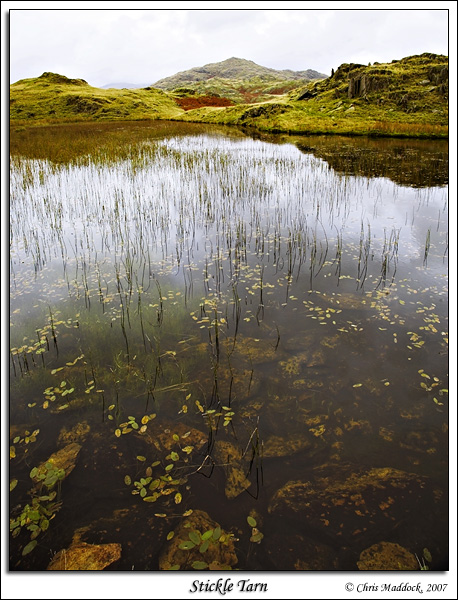
This Stickle tarn is not as well-known, nor as large as its namesake under the Langdale Pikes, however it is an attractive little tarn in a good location. Lying on a shelf on the Dunnerdale side of Stickle Pike, it has a fine view past the outfall to Morecambe Bay. The eastern shore is grassy, whilst the western is lined with a jumble of rocks that have fallen from Stickle Pike above. There is no surface inflow yet the outfall, to the south, is a fairly fast-flowing little beck.
|
||
 |
||
 |
||
 |
||
 |
||
 |
||