
|
Stickle
Tarn (Langdale)
|
||
| Type; | Natural, enlarged by damming | View Larger Map |
| Location; | under the Langdale Pikes | |
| Accessibility; | Access Land | |
| Grid Ref; | NY 287 077 | |
| Elevation; | 473m (1552 feet) | |
| Size; |
380 x 250 m (1235 x 810 feet) |
|
| Area; | 8.4 hectares (20.75 acres) | |
| Depth; | 16m (53 feet) | |
| Meaning of name; | the tarn by the prominent peak | |
| Alternative name(s); | ||
|
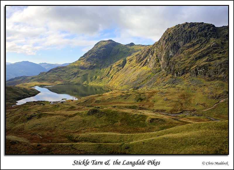
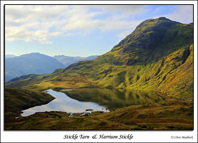
The better-known of the two Stickle Tarns, this one is in a dramatic location. Set in a large corrie below the Langdale Pikes peaks Harrison Stickle and Pavey Ark, it hangs above the Great Langdale valley. It was enlarged by the building of a stone dam in 1838 to provide water for the gunpowder works at Elterwater and the mill at Millbeck. This raised the level by 2 metres (6½ feet), but doesn't adversely affect the beauty of the tarn, and is regularly maintained by the National Park Authority The views from Stickle Tarn are impressive - across the tarn itself to both Pavey Ark and Harrison Stickle, and a birds eye view down the Great Langdale valley.
|
||
 |
||
 |
||
 |
||
 |
||
 |
||
 |
||
|
|
||