
|
Thirlmere
|
||
| Type; | Reservoir | View Larger Map |
| Location; | Thirlmere valley | |
| Accessibility; | Roads both sides, several car parks | |
| Grid Ref; | NY 312 163 | |
| Elevation; | 178m (584 feet) | |
| Size; |
6 x 0.7 Km (3.5 x 1.2 miles) |
|
| Area; | 330 hectares (815.1 acres) | |
| Depth; | 40m (131 feet) | |
| Meaning of name; | ||
| Alternative name(s); | ||
|
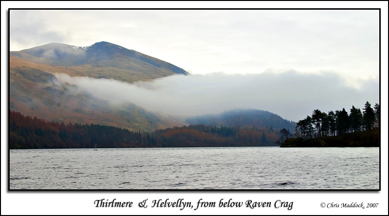
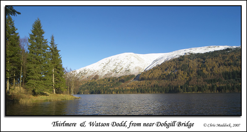
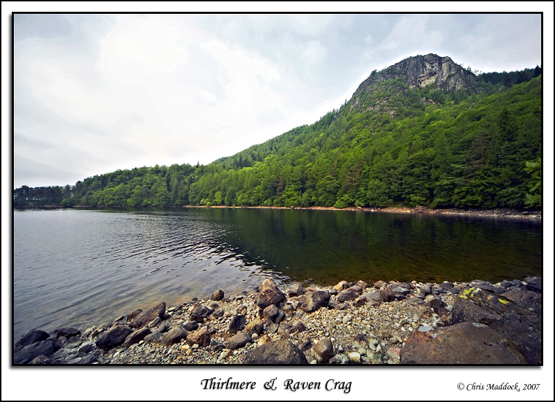
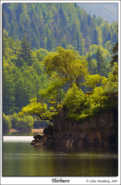
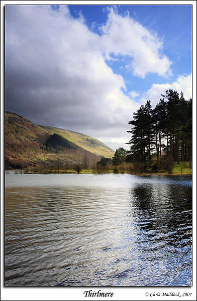
Thirlmere is a reservoir between the Wythburn Fells and Helvellyn. Originally two smaller lakes, Leathes Water and Wythburn Water, the reservoir was constructed during 1890-94 to supply water for the growing city of Manchester. The villages of Armboth and Wythburn were flooded, only the tiny church at Wythburn escaping the waters. To the west are the Wythburn Fells, whilst overlooking the lake to the east is mighty Helvellyn, the third highest mountain in England. Like all the big lakes, getting it all in on a photo is not easy without doing some strenuous walking. For those so inclined, there is a good view available from Steel Fell to the south, also from Raven Crag to the north-west. Otherwise, there are several car parks along the western side, with access to the lake shore, and a viewing point near the northern end on the main road to the east of the lake.
|
||
 |
||
 |
||
 |
||
 |
||
 |
||
 |
||
   |
||