
|
Wastwater
|
||
| Type; | Natural | View Larger Map |
| Location; | Wasdale, Western Lakeland | |
| Accessibility; | mostly Access Land | |
| Grid Ref; | NY 160 058 | |
| Elevation; | 64m (210 feet) | |
| Size; |
4.6 x 0.6 Km (3 x 0.3 miles) |
|
| Area; | 290 hectares (716.3 acres) | |
| Depth; | 79 m (258 feet) | |
| Meaning of name; | lake of the valley with the lake | |
| Alternative name(s); | Wassewatre (1294) | |
|
Wastwater
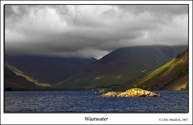
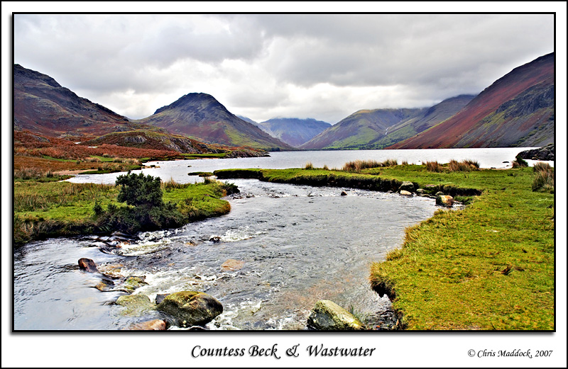
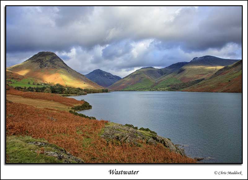
is one of the most dramatic (in my opinion) lakes in the Lake District.
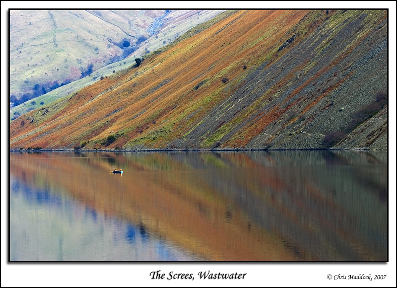
It is overlooked by "The Screes", 1800 feet of scree plunging
down from Illgill Head right to the lake shore and 200 feet more below
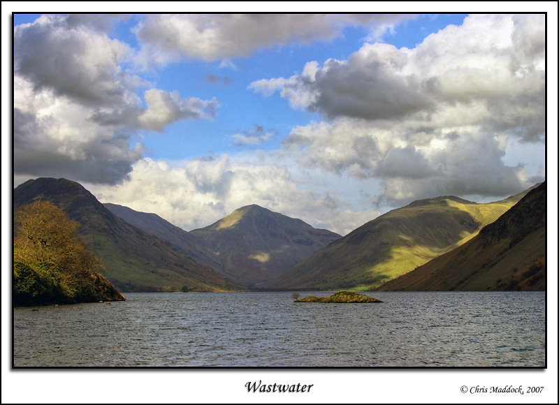
the lake surface, whilst at the head of the lake some of the highest of
the central fells (Kirk Fell, Great Gable and Lingmell) stand like sentinels
on the skyline. Beyond Illgill Head, to the east, are Sca Fell and Scafell
Pike, the two highest mountains in England. Photographically, it is also outstanding. From near the foot of the lake, there is the view all the way up the lake to the head, with Kirk Fell, Great Gable and Lingmell closing off the view. There are similar views from partway up the lake too. Looking across the water, The Screes are striped in different colours of rock and foliage which also vary according to the light. Add in a windless day and the reflections can be stunning.
|
||
 |
||
 |
||
 |
||
 |
||
 |
||
 |
||
 |
||