
|
Watendlath
Tarn
|
||
| Type; | Natural | View Larger Map |
| Location; | Watendlath | |
| Accessibility; | Private but with footpaths | |
| Grid Ref; | NY 275 161 | |
| Elevation; | 262m (860 feet) | |
| Size; |
300 x 200 m (975 x 642 feet) |
|
| Area; | 3.73 hectares (9.2 acres) | |
| Depth; | 17 m (56 feet) | |
| Meaning of name; | tarn at the end of the lake | |
| Alternative name(s); | ||
|
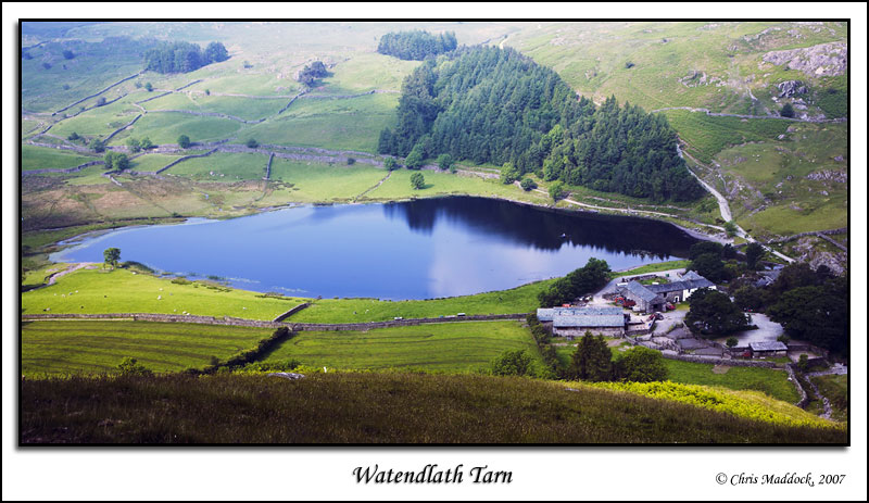
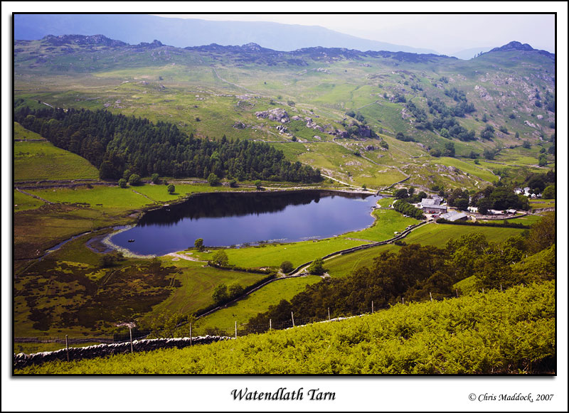
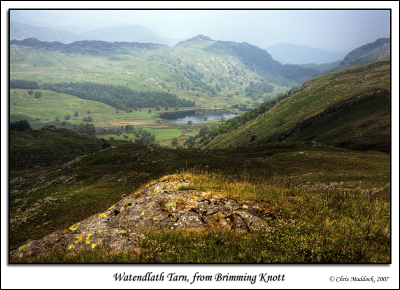
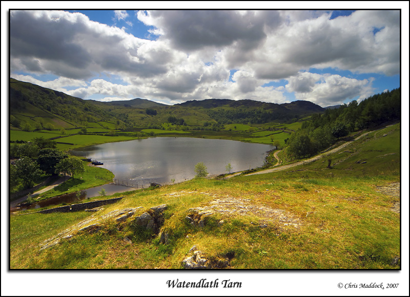
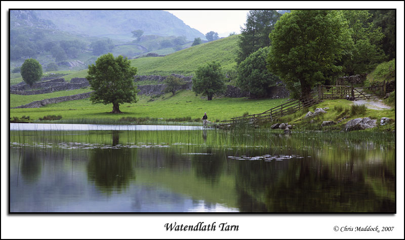
Watendlath
Tarn sits at the head of a hanging valley (the foot of which is at Lodore
Falls further north), on the fells between the Borrowdale and Thirlmere
valleys. An attractive little tarn, it is surrounded by pastureland which
supported the small hamlet beside the tarn. The outfall is to the north,
down Watendlath Beck. Immediately after leaving the tarn, the back flows
under an ancient (but restored) packhorse bridge.
|
||
 |
||
 |
||
 |
||
 |
||
 |
||
 |
||
 |
||
 |
||
 |
||