
|
Allan
Tarn
|
||
| Type; | Natural | View Larger Map |
| Location; | south of Coniston Water | |
| Accessibility; | Private. No access but visible from road. | |
| Grid Ref; | SD 292 894 | |
| Elevation; | 44m (145 feet) | |
| Size; | 117m x 102m (384 x 335 feet) | |
| Area; | 0.84 hectares (2.1 acres) | |
| Depth; | unknown | |
| Meaning of name; | unknown | |
| Alternative name(s); | none | |
| |
||
|
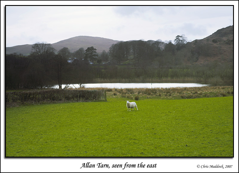
A small tarn
on the River Crake a few hundred yards downstream from Coniston
Water, Allan Tarn is on private land so is inaccessible. It is visible,
however, from the road that runs up the eastern side of Coniston Water,
just south of High Nibthwaite. |
||
 |
||
|
|
||