
|
Angle
Tarn (Patterdale)
|
||
| Type; | Natural | View Larger Map |
| Location; | east of Patterdale | |
| Accessibility; | Access land. Footpaths from Hartsop and Patterdale. | |
| Grid Ref; | NY 417 143 | |
| Elevation; | 479m (1571 feet) | |
| Size; | 385m x 260m (1260 x 850 feet) | |
| Area; | 5.9 hectares (14.6 acres) | |
| Depth; | 9m (30 feet) | |
| Meaning of name; | fishing tarn; the tarn shaped like a fishhook | |
| Alternative name(s); | none | |
|
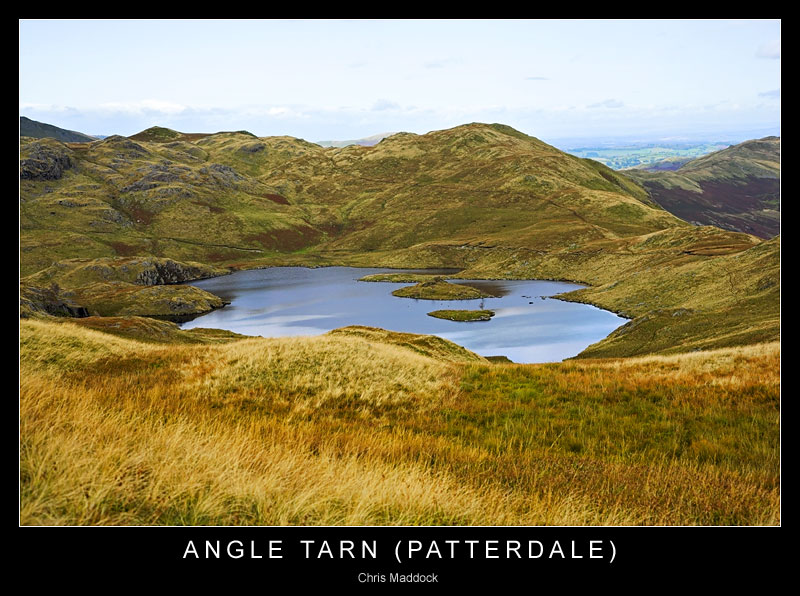
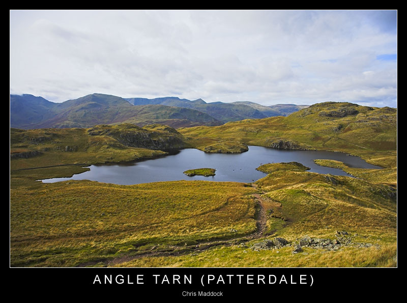
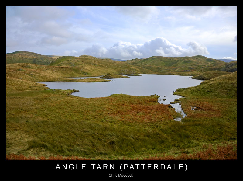
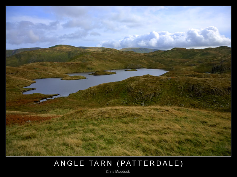
Angle Tarn
is to be found 1 mile (as the crow flies) east of Hartsop, in Patterdale.
It can be accessed via footpaths from Patterdale village or from Hartsop,
via Hayeswater. |
||
 |
||
 |
||
 |
||
 |
||
 |
||
 |
||
 |
||
|
|
||