
|
Buttermere
|
||
| Type; | Natural | View Larger Map |
| Location; | 7 miles SW of Keswick | |
| Accessibility; | mostly Access Land | |
| Grid Ref; | NY 182 157 | |
| Elevation; | 104m (338 feet) | |
| Size; | 2 x 0.5 Km (1¼ x ¼ miles) | |
| Area; | 90 hectares (222.3 acres) | |
| Depth; | 23m (75 feet) | |
| Meaning of name; | lake by the dairy pastures | |
| Alternative name(s); | ||
|
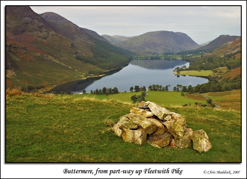
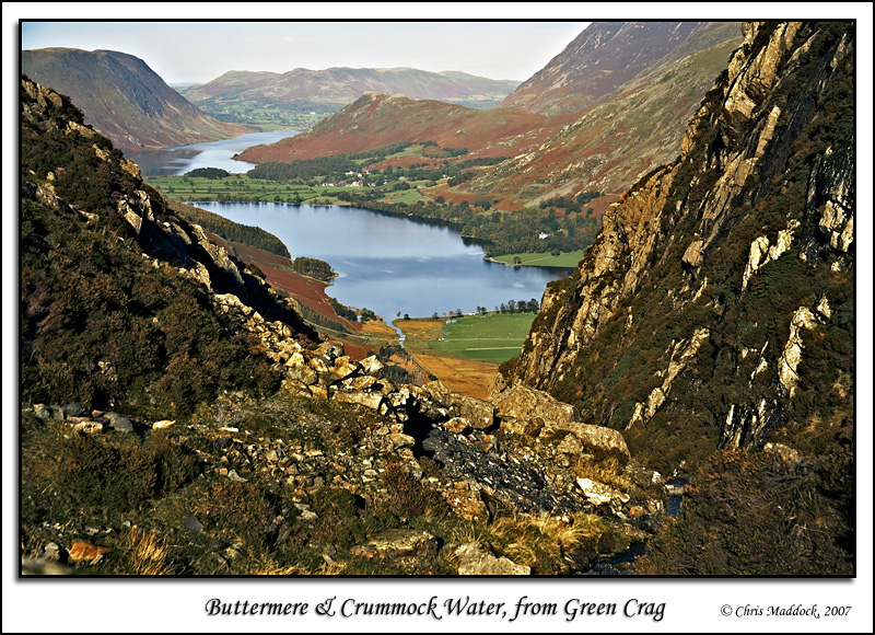
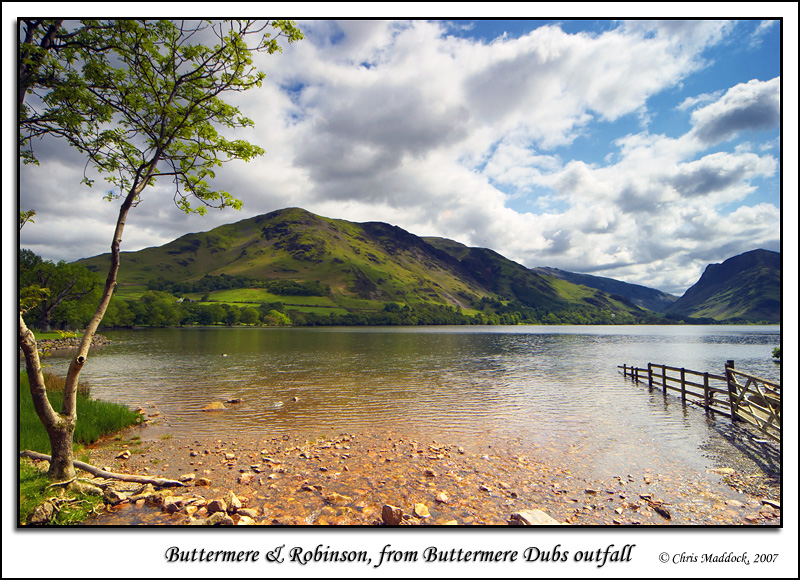
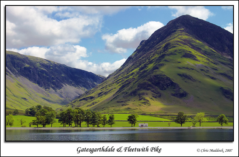
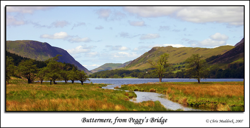
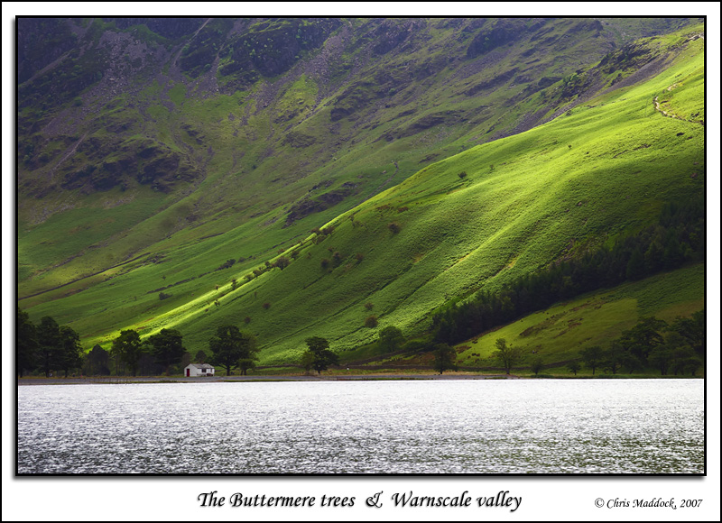
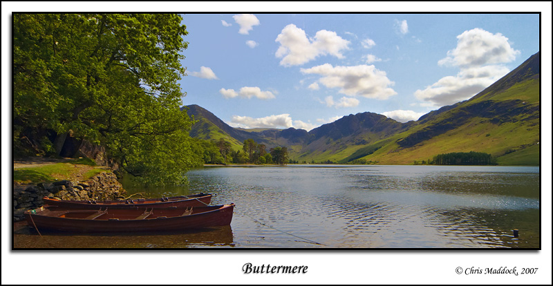
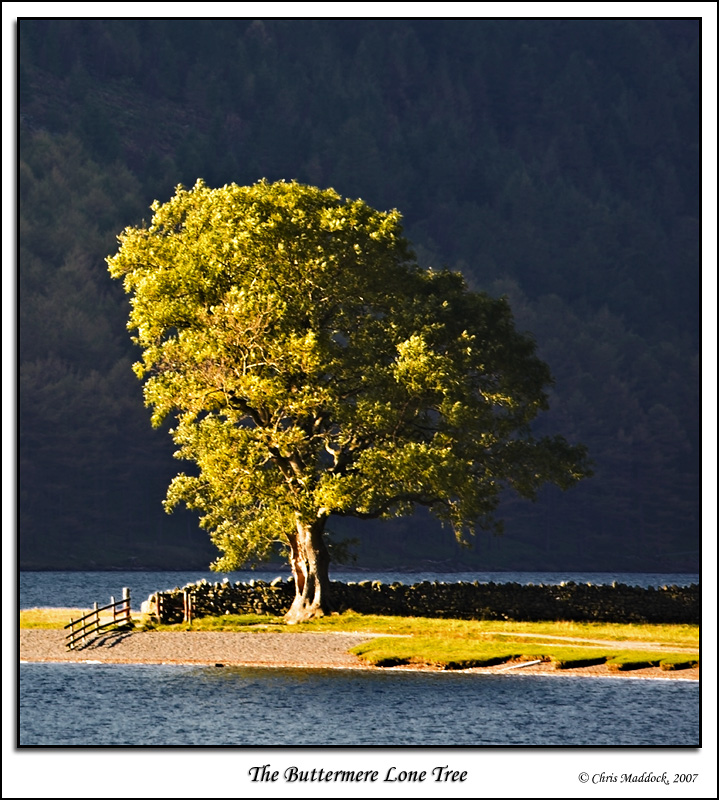
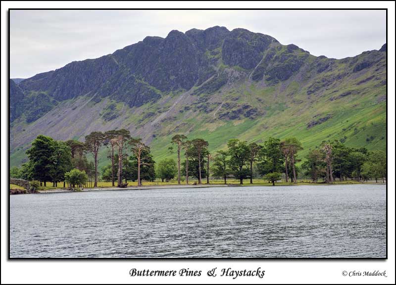
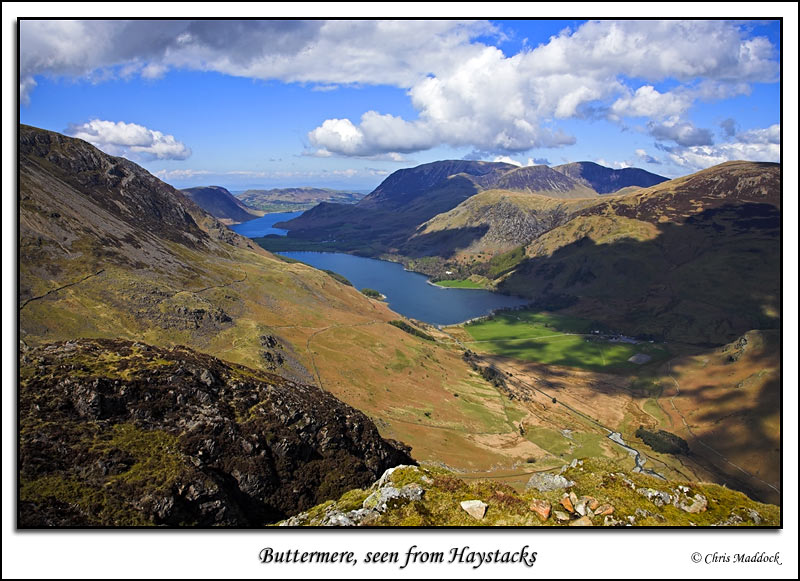
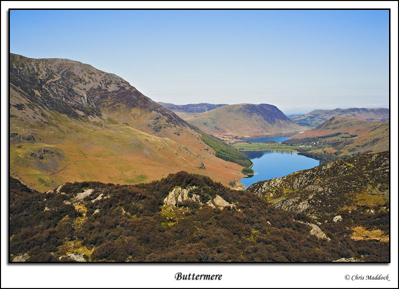
One of my favourites of all the Lakes (and, indeed, popular with many Lakeland visitors) Buttermere lies in a classic glaciated valley with dramatic fells all around. To the north-east there is Robinson with Grasmoor to the north-west. The south-west is dominated by the High Stile ridge with Haystacks at the southern end, whilst the head of the lake is overlooked by the magnificent Fleetwith Pike. The outfall is to the north-west, cutting through the fertile alluvial plain that divides Buttermere from Crummock Water, just over ½ mile away. At one time the two lakes were one, until the sediment build-up in the middle split them apart. This may have been exacerbated by the collapse of a moraine at the far end of what is now Crummock Water, lowering the water level of the lake(s). Photographic opportunities abound for Buttermere - a footpath runs around the entire lake, deviating from the shore only at the head of the lake where the shore and first two fields are private land. This offers plenty of views of the lake and surrounding fells. The south-eastern end of the lake is patrolled by a line of trees with a small white hut amongst them, whilst a promontory opposite them features a single tree at the tip - possibly the most photographed tree in England. For views
of the whole lake one need only climb a little way up Fleetwith Pike,
or take one of the footpaths to Haystacks, to get a fine view of the length
of Buttermere with Crummock Water
behind in the distance. More opportunities will arise from anywhere along
the High Stile ridge. |
||
 |
||
 |
||
 |
||
 |
||
 |
||
 |
||
 |
||
 |
||
 |
||
 |
||
 |
||
 |
||