
|
Crummock
Water
|
||
| Type; | Natural | View Larger Map |
| Location; | north-west Lakeland | |
| Accessibility; | mostly accessible, some private | |
| Grid Ref; | NY 158 189 | |
| Elevation; | 96m (315 feet) | |
| Size; | 4.0 Km x 927m (2.5 x 0.6 miles) | |
| Area; | 250 hectares (617.5 acres) | |
| Depth; | 43m (140 feet) | |
| Meaning of name; | lake of the crooked river | |
| Alternative name(s); | Crombocwater (c.1307) | |
|
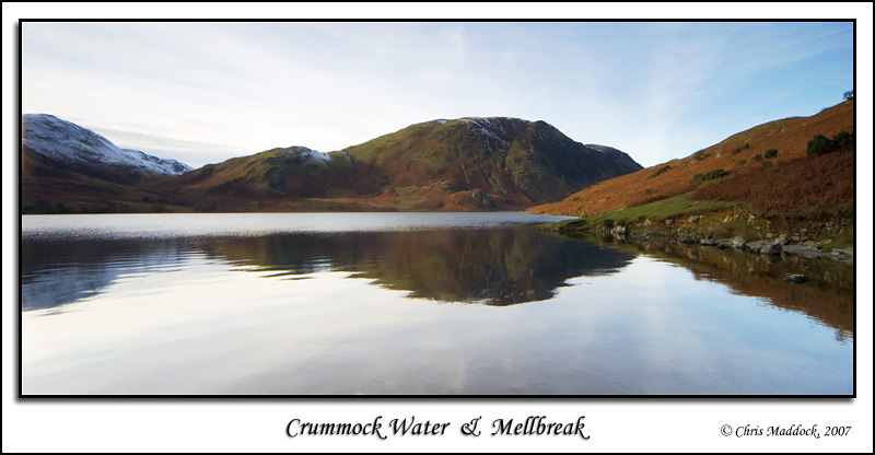
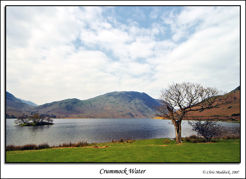
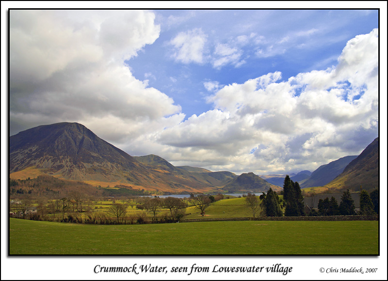
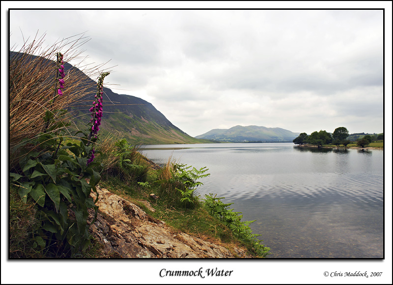
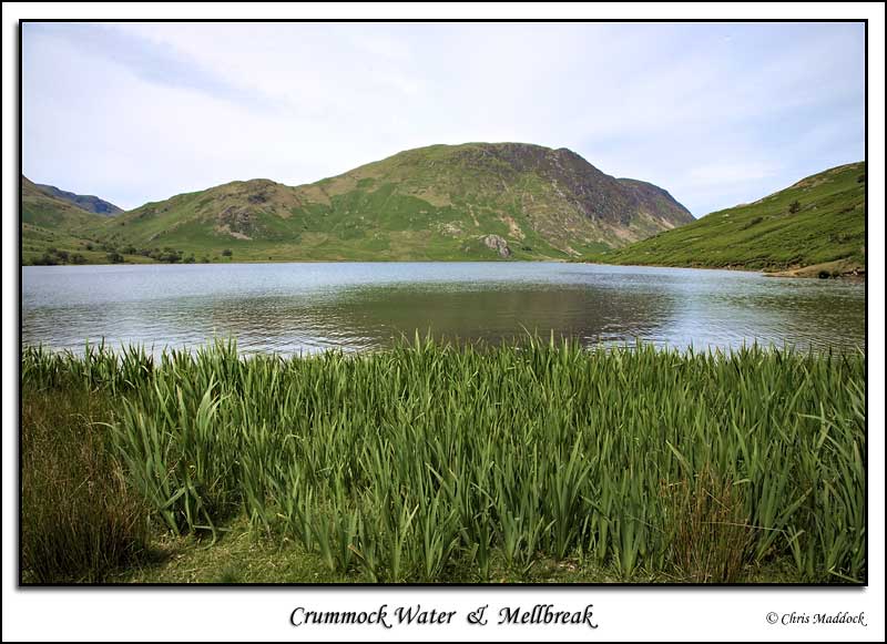
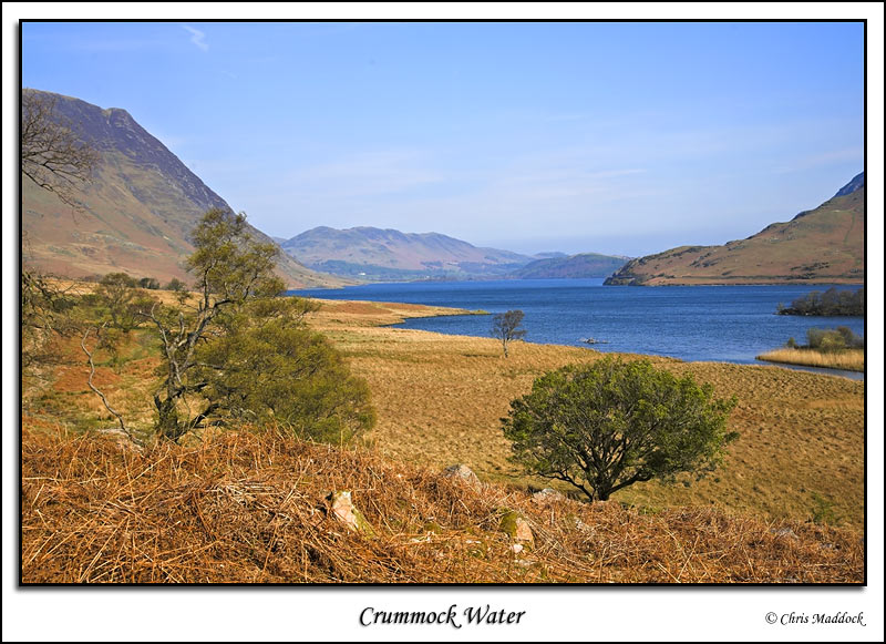
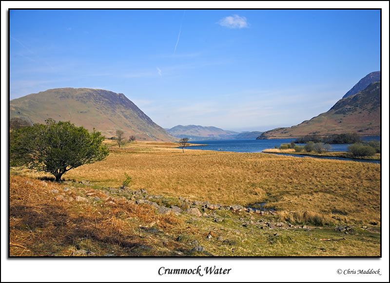
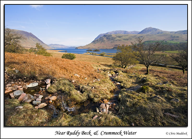
Crummock Water lies north-west of Buttermere, separated from it by a ½ mile alluvial plain. At one time the two lakes were one, until the sediment build-up in the middle split them apart. This may have been exacerbated by the collapse of a moraine at the far end of what is now Crummock Water, lowering the water level of the lake(s). The lake
is bounded by Grasmoor to the north-east and Mellbreak to the south-west,
both dramatic mountains. To the south there is a small sandy bay with
a fence jutting into the water and partway along the lakeside road is
Hause Point, which offers good views of both Mellbreak and Grasmoor. |
||
 |
||
 |
||
 |
||
 |
||
 |
||
 |
||
 |
||
 |
||
 |
||
 |
||
 |
||