
|
Loweswater
|
||
| Type; | Natural | View Larger Map |
| Location; | Vale of Lorton | |
| Accessibility; | mostly Private, some Access Land | |
| Grid Ref; | NY 124 217 | |
| Elevation; | 125 m (410 feet) | |
| Size; | 1.7 x 0.6 Km (1 x ½ miles) | |
| Area; | 60 hectares (148.2 acres) | |
| Depth; | 18m (60 feet) | |
| Meaning of name; | the leafy lake | |
| Alternative name(s); | Laweswatre (c 1188) | |
|
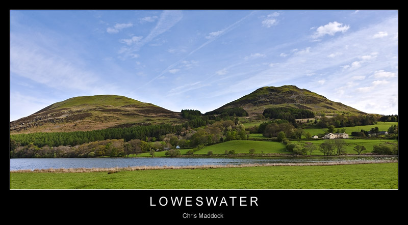
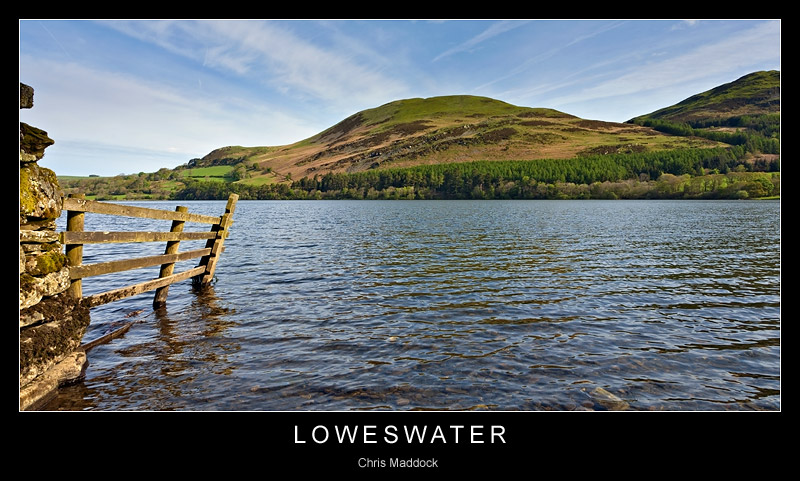
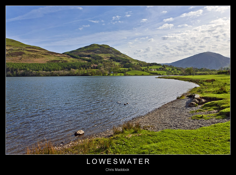
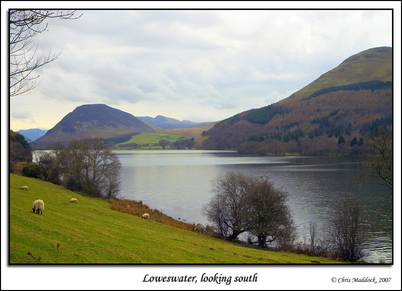
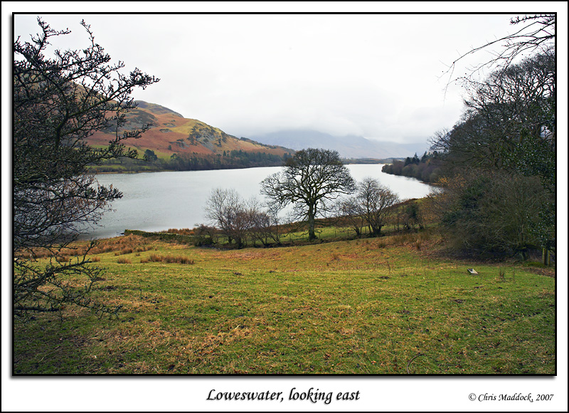
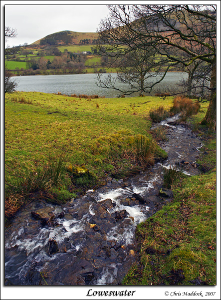
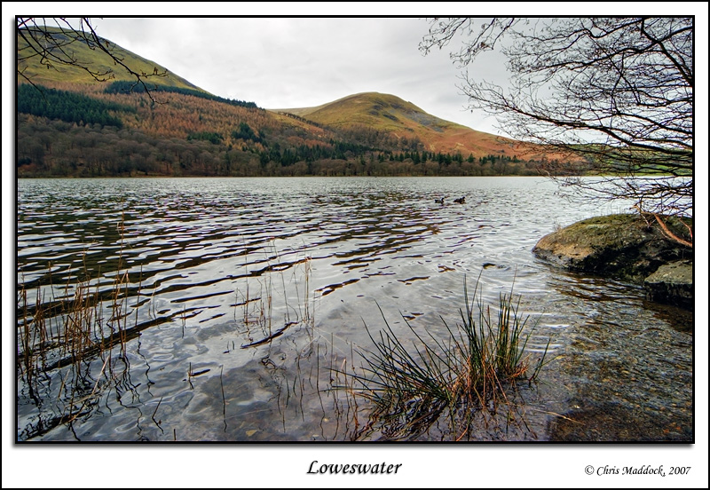
In the far west of the Lake District, Loweswater lies in a wooded valley in the Vale of Lorton. It is the only lake in the Lake District whose waters flow towards the centre of the Lake District, flowing to Crummock Water - to which Loweswater was once joined. The landscape around is mostly rolling hills, although the closest immediate fell, Mellbreak, is both steep and craggy. The road from Lorton Vale pass to the north of Loweswater, whilst a footpath crosses above the head and runs down the southern shore to Loweswater village, below the foot of the lake. Most of the southern shore is wooded, a deciduous woodland named Holme Wood. Within the woods, but not actually on the path, is Holme Force, apparently a very attractive waterfall. |
||
|
|
||
 |
||
 |
||
 |
||
 |
||
 |
||
 |
||
 |
||
 |
||