
|
Wise
Een Tarn
|
||
| Type; | Artificial | View Larger Map |
| Location; | Claife Heights | |
| Accessibility; | footpath passes by | |
| Grid Ref; | SD 370 976 | |
| Elevation; | 193m (633 feet) | |
| Size; |
426 x 118 m (1380 x 388 feet) |
|
| Area; | 4.0 hectares (9.9 acres) | |
| Depth; | 5m (15 feet) | |
| Meaning of name; | willow tarn | |
| Alternative name(s); | ||
|
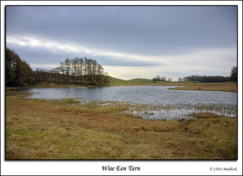
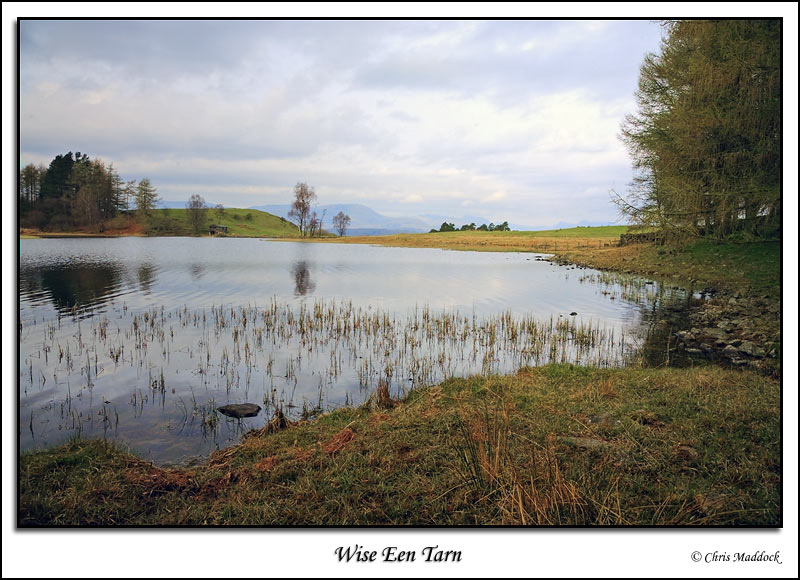
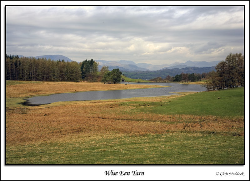
Wise Een Tarn lies between Colthouse Heights and Claife Heights, above Esthwaite Water. The outflow is to the north, past an earth dam. There is a boathouse at the western end of the dam. The location offers a good view to the Langdale Fells in the north and the Coniston Fells in the west.
|
||
 |
||
 |
||
 |
||
 |
||
 |
||
|
|
||