
|
Blea
Tarn (Wythburn Fells)
|
||
| Type; | Natural | View Larger Map |
| Location; | 1.5 miles south-west of Watendlath | |
| Accessibility; | Access land | |
| Grid Ref; | NY 291 140 | |
| Elevation; | 478m (1568 feet) | |
| Size; | 531m x 245m (1725 x 800 feet) | |
| Area; | 7.8 hectares (19.25 acres) | |
| Depth; | 13m (43 feet) | |
| Meaning of name; | dark blue tarn | |
| Alternative name(s); | ||
|
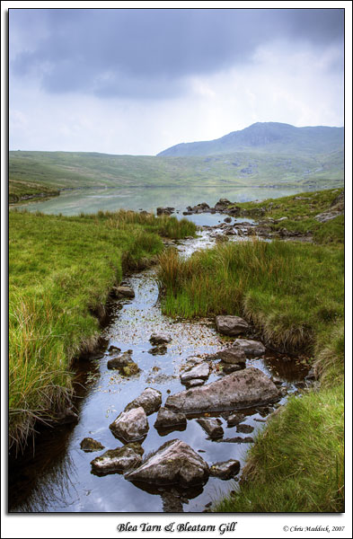
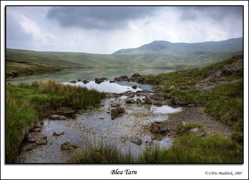
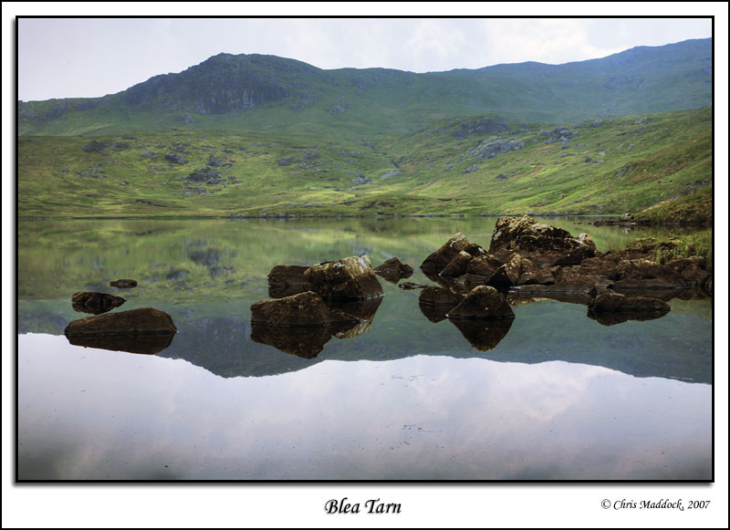
This Blea Tarn (there being two more of the same name) is located in a depression on the fells between the hamlet of Watendlath and Ullscarf on the Wythburn Fells. The outfall is to the north, winding its way down across Watendlath Fell to finally reach Watendlath Tarn. The tarn
can be accessed via a footpath which runs from Watendlath to Dobgill Bridge
on the western shore of Thirlmere
reservoir - there is a car park at each end. This path runs along the
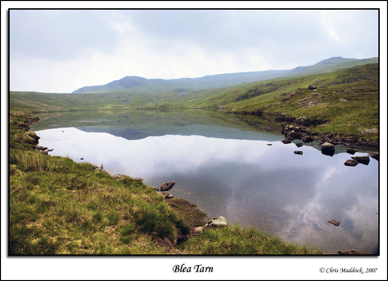
north-western shore of Blea Tarn, offering views across the tarn towards
Coldbarrow Fell and Ullscarf. |
||
 |
||
 |
||
 |
||
 |
||
|
|
||