
|
Dockey
Tarn
|
||
| Type; | Natural | View Larger Map |
| Location; | above White Moss Common, Grasmere | |
| Accessibility; | Access Land | |
| Grid Ref; | NY 353 072 | |
| Elevation; | 387m (1270 feet) | |
| Size; | very small | |
| Depth; | 0.5m (1½ feet) | |
| Meaning of name; | ||
| Alternative name(s); | ||
|
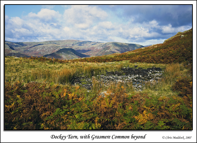
Lying on the side of Heron Pike, above White Moss Common, Dockey Tarn was somewhat of a letdown when I visited. All I found was a layer of blackened stones with a small amount of water between and below them. Still, it was on the list so it had to be visited. Luckily, the views of Rydal Water, Grasmere and the fells beyond made the walk across broken, bracken-covered ground from Alcock Tarn worthwhile.
|
||
 |
||
 |
||