
|
Rydal
Water
|
||
| Type; | Natural | View Larger Map |
| Location; | Rydal | |
| Accessibility; | Road & footpaths all round | |
| Grid Ref; | NY 356 061 | |
| Elevation; | 53m (174 feet) | |
| Size; | 1.2 x 0.4 Km (¾ x ¼ miles) | |
| Area; | 30 hectares (74.1 acres) | |
| Depth; | 17m (55 feet) | |
| Meaning of name; | the lake in the valley where rye is grown | |
| Alternative name(s); | Rothaymere, Routhmere, Ridale (1180) | |
|
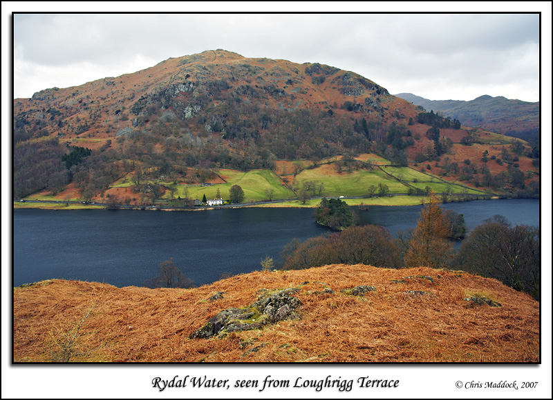
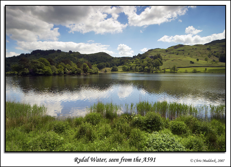
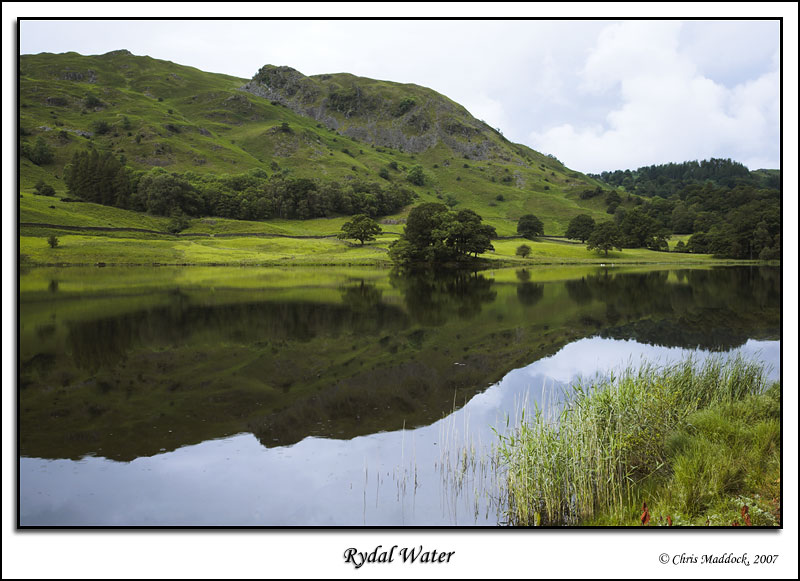
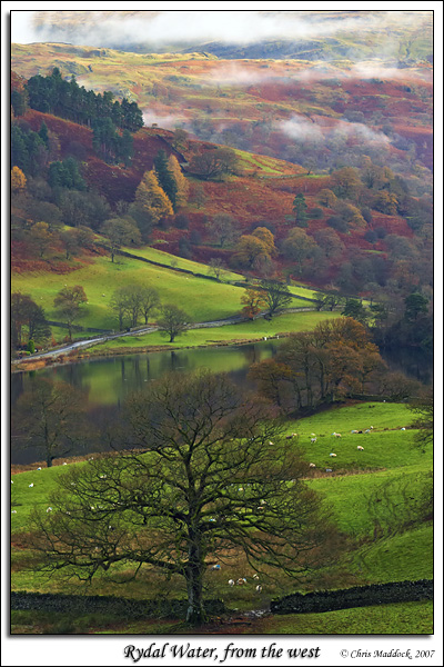
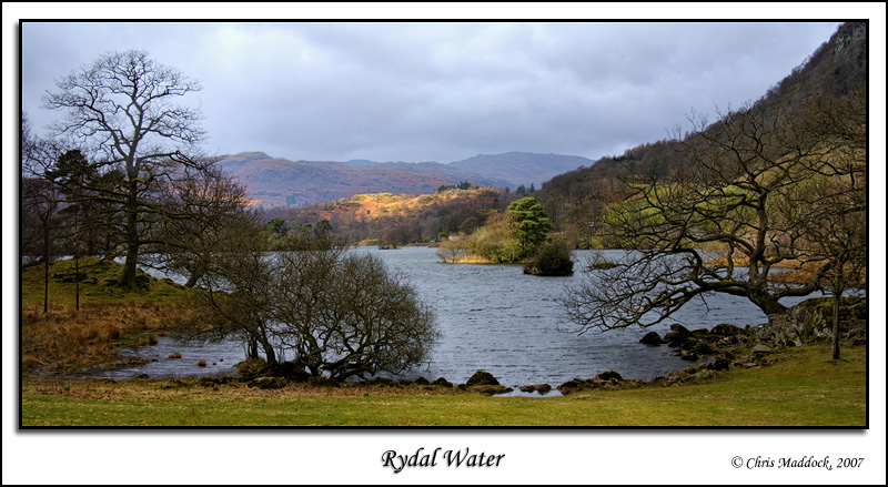
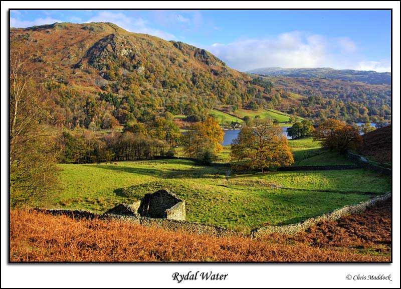
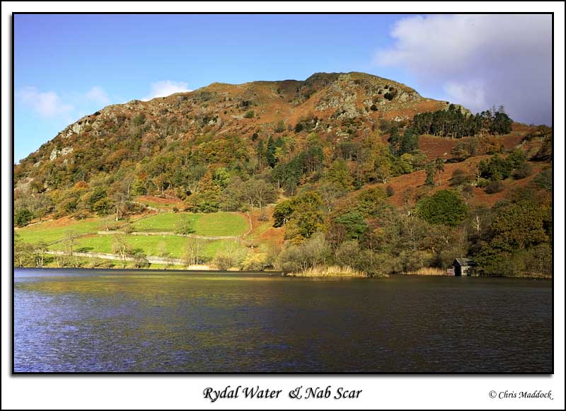
Rydal Water is one of the smallest of the lakes in Lakeland, located near the centre of the area. It is about half a mile downstream from Grasmere on the River Rothay, which then flows down to Windermere. The lake contains a few small islands and is, overall very pretty. The A591 main road to Keswick runs along the north shore, whilst a footpath leads from White Moss Common at the western end of the lake around to the lower slopes of Loughrigg Fell to the south and back across the River Rothay just downstream of the lake outfall, making a nice circular walk.
|
||
 |
||
 |
||
 |
||
 |
||
 |
||
 |
||
 |
||
 |
||
 |
||
 |
||
|
|
||